Flood watch issued for 5 US states through weekend: See full list
Showers, thunderstorms expected throughout weekend with excessive runoff resulting in flooding of rivers, creeks, and other low-lying areas
Published July 09, 2026
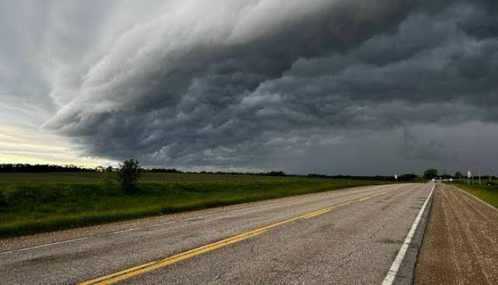
A public flood watch has been issued for five US states as forecasters predict several days of heavy rainfall that can trigger dangerous flooding conditions through Sunday, July 12.
Considering the forecast, the National Weather Service has issued a flood watch on Wednesday, July 8, as a storm system is expected to bring excessive rainfall across parts of the South and Midwest.
Showers and thunderstorms are expected to start around Thursday afternoon and continue through the weekend, with some areas potentially seeing 3 to 4 inches of rain.
Affected states include:
- Tennessee: All of middle Tennessee, including Montgomery, Stewart, Robertson, Houston, Dickson, and Cheatham counties
- Kentucky: Including Christian County and areas near the Tennessee border
- Alabama: Northern portions under watch
- Mississippi: Northern and central regions affected
- Georgia: Northwestern parts included in the watch
According to AccuWeather, too much runoff could lead to flooding of rivers, creeks, streams, and other areas that are prone to flooding in all the affected states.
The ground is still saturated due to recent rains, thereby raising the threat of flash floods. Forecasters predict that any storm that forms will be able to produce rainfall at high speeds.
In addition to the potential for flooding, there is also a Marginal Risk (1/5 level) of severe weather throughout much of the affected area through Saturday. The risks include: Damaging wind gusts, Small hail, and Isolated tornadoes (low risk)
It is important for all those living in the affected states to ensure that they have more than one means of receiving weather warnings, particularly at night.